
info@underthejungle.com
CAVE SURVEY AT A GLANCE
• 4-day minimum course duration
• Certification fees included
• Tank rentals with 32% nitrox or rebreather bailouts and onboard gas fills included
• Backmount and sidemount configurations accepted, course may also be completed on CCR
PREREQUISITES
• Divers must be at least 18 years old
• Any overhead certification is allowed: Cavern Diver, Intro to Cave Diver, or Full Cave Diver
• Divers must be experienced (20+ dives) at current certification level
WHAT CAN I DO WITH THIS CERT?
Upon completion of the TDI Underwater Cave Surveying Course, divers are qualified to:
• independently conduct surveys within the limits of their overhead certification level
• participate in Under the Jungle survey projects
UNDERWATER CAVE SURVEYING COURSE DETAILS
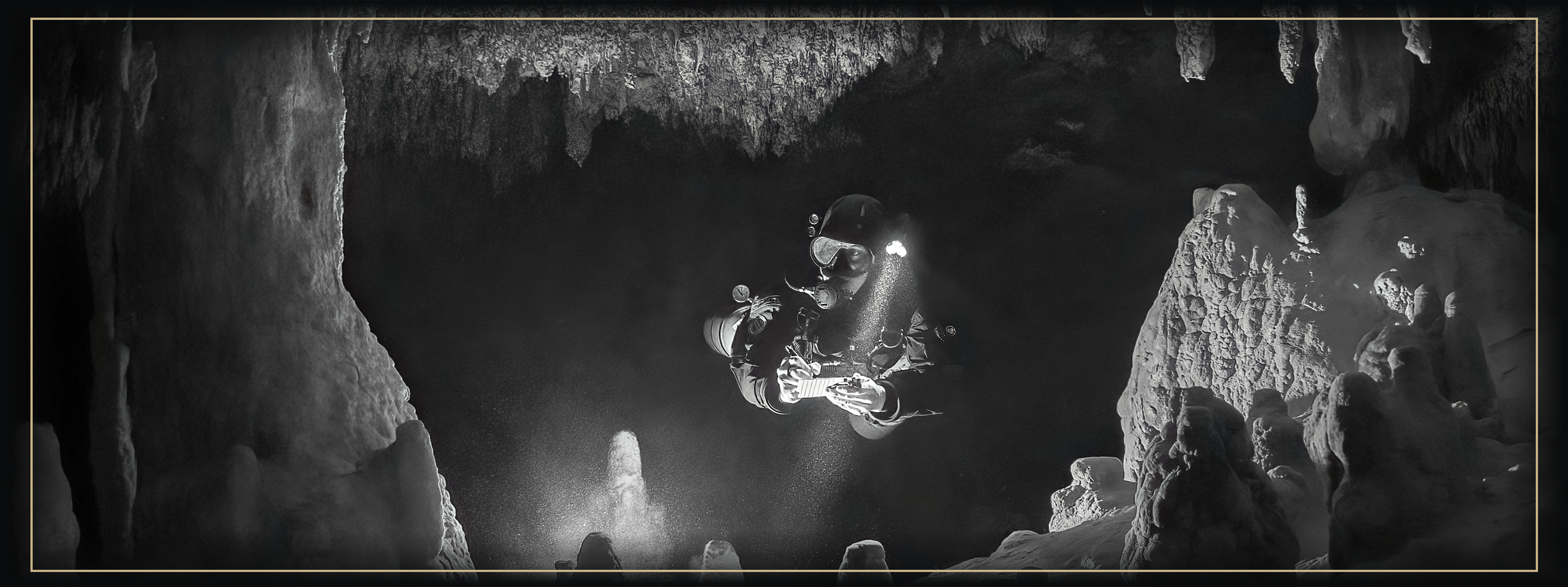
Are you ready to make your own stick maps of caves? Surveying flooded caves allows divers to better understand a cave’s lines and geography. It’s incredibly fulfilling to create a usable cave survey and share it with your friends, and it’s enjoyable! For divers looking forward to creating cave maps in the future (with walls, columns, and critical features), an accurate cave survey forms the backbone of any cartography project and is the first step in drawing a map. This course is open to any experienced and certified overhead diver (even cavern divers!) interested in surveying underwater caves.
WHERE WILL I DIVE DURING THE UNDERWATER SURVEY COURSE?
During the TDI Cave Survey Course, divers will spend the first two days in easy cavern locations. On day one, we usually visit a relatively bright cavern such as Ponderosa or Chikin Ha. Keeping the dive plan simple allows us to maximize time spent surveying and will enable divers to build up experience in a low-risk environment before surveying more challenging caves. On the second day of the survey course, students will lay their own survey line in a location such as X’tabay or Chan Chemuyil Sur. From there, we’ll move on to caves appropriate to the diver’s certification level. If Under the Jungle is working on a current resurvey project in a remote cave, we may invite students to one of these exciting locations if logistics and dive skills allow.
WHAT WILL I LEARN DURING THE CAVE SURVEY COURSE?
The TDI Underwater Cave Surveying Course combines classroom sessions with in-water practice.
⇒ UNDERWATER CAVE SURVEY THEORY
• Historical and contemporary methods of cave survey
• Manual survey procedure and practice
• GPS formats
• Sources of error
• Survey grades and levels of precision
• Safety and gas planning considerations
• Note-taking of navigational markers and features
• Using the mNemo electronic survey device for underwater cave survey
• Plotting a survey manually on modern survey software (Ariane Line)
• Using the mNemo electronic survey device to upload a survey onto modern software
• Surveying and uploading three-dimensional data
⇒ OVERHEAD SURVEY DIVES
• Conduct a single-guideline survey
• Install your own survey line
• Survey jumps and T-intersections
• Take notes on key cave features
• Use the mNemo electronic survey device to create a survey including jumps and T-intersections
• Note cave dimensions (LRUDs) for three-dimensional survey

